« Archives in January, 2021

Things Are Looking Up…

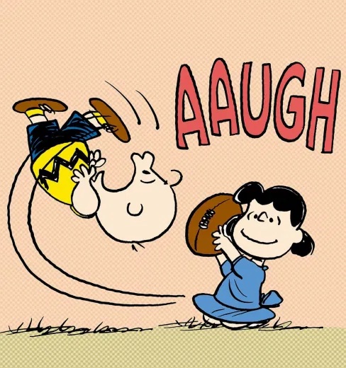
…as in, I’m looking to up expected snow totals a bit… albeit with the risk of a Charlie Brown, Lucy, football reenactment!

A consensus is forming in the numerical guidance with regard to tonight’s snow event. QPFs have trended higher, which will lead to greater cooling of the column, which will lead to higher snow totals across the northern half of NC.

We should see precipitation break out in the Triangle in the form of rain around 9pm. Then, we’ll see that typical cold, NC winter rain thru midnight. Between midnight and 1am we should see the changeover to all snow. Precipitation rates look to be moderate, so I would expect some picturesque moderate to even heavy snow. There will be a window of just 4-5 hours for the snow, and most of it should be wrapped up by dawn. If you want to see it, set those middle of the night alarms for 3am!

Expected heaviest accumulations north of a line from Greensboro to Raleigh to Wilson. Totals will range 2-4″ with perhaps some 5-6″ totals toward the Virginia border. A good target for Raleigh is around 3″. Bust potential to the downside will be just a dusting. Bust potential to the high side would be 5″.

Ground temps and particularly road temps are fairly warm, so this accumulation will be primarily in the grass, especially early. Although with the anticipated heavier snow rates, the roads could eventual succumb to the snow. However, once the snow stops and the sun comes up, any problems will quickly dissipate.

I’m still eyeing the next system for Sunday. However, we may turn out to be on the warm side of that, but it’s something to continue to monitor. And especially interests north and west should keep tabs on the latest.

Winter Weather to Return to NC

A quick heads up on the system for overnight Wed into early Thurs AM that we’ve been eyeing for over a week now. Just as hope was fading, the numerical modeling has strongly trended to a more favorable alignment of the surface low and upper-level energy over the past day or so. And while this won’t be the ‘big one’ or anything like that. It does appear more likely that rain will changeover to snow late Wed night with the potential for light accumulations especially on grassy areas.

There is the potential for some moderate banding in this scenario which could yield higher lollipop totals scattered among a more general swath of 1/2″ to 2″ snows. There’s still plenty of time to follow the latest trends tonight and thru the day tomorrow.

Perhaps of more interest though is a second potential winter event late Sat into Sunday that advertises as what could be a more prolonged bout with a mixed bag of all p-types for a winter mess of significant accumulations of ice, sleet and snow across a good chance of NC.

Minor Event for the Triangle

Happy 2021! It’s good to have a winter weather event to talk about!

For Raleigh, it looks like the initial precip begins between 3 and 5am. Probably initial as rain, with a brief changeover to a sleet, rain, wet snow mix, which then changes over to all rain as we approach rush hour. Any wintry p-type in this first round should be of no consequence.

During the day, the rain will be spotty and light with temperatures hovering in the mid-30s. (a beautiful day!). Then tomorrow evening in the 7-9pm range snow showers will begin to break out in response to the cold upper-level low rotating thru. We’ll have a 3 to max 4 hour window til just after midnight of snow showers, some of which have the potential to be moderate. This is will be the time when Raleigh sees the potential for accumulating snow, in particular on grassy areas. Most likely, accumulations will be 1/2″ to 1.5″. Bust low would be snow in the air, none on the ground. Bust high would be 2-3″. Snow totals will not be uniform. They will be banded more like what you see with thunderstorm distributions in the summer.

Enjoy!