Yep. Looking into the crystal ball… more winter weather for the weekend. This time, there’s a better chance it will be snow or nothing at all. It’s not an ice setup. The track of the storm (50 miles either way) will make the difference between flurries, 2″, or a foot. All of that really comes into focus with the Wednesday evening model runs. For now, all you need to know is that a storm is likely. The track will determine the magnitude of the snow.
We’ve been lucky that the surface layer of cold air held strong enough overnight to limit freezing rain accruals in favor of sleet and snow. The inch or so of sleet/snow has provided a great base for sledding that will take quite some time to melt.
And while we’ve only seen a light glaze in Wake County so far, any meaningful freezing rain that we have left should begin now. This band looks to be the heaviest precipitation we’ve seen so far. The expectation is for it to be freezing rain and sleet, with the potential for a pocket or two of heavy sleet at times. In fact, we could luck out and end up with mostly sleet.
Temps are still holding in the low 20s, so the potential for another >1/4″ of ice is now trending down. Especially with heavier precipitation rates, the rain won’t have as much of a chance to freeze on trees and power lines as efficiently as it would with lighter rates over a longer timeframe. To be clear, any rain will still freeze wherever it ends up on the ground, but that’s a much better scenario than it freezing on elevated surfaces that could collapse under the weight of the ice.
For now, there’s still hope that this cold surface layer continues to overperform and that this last round ends up being mostly sleet, to the tune of 1/2″+.
As advertised, it’s going to be very cold this week. Melting will be a slow go, with some thawing in the sun and refreezing each morning. Black ice will be a headache during the early hours. And we still have the potential for a couple of snow showers later in the week. There are also hints of other storm systems rolling through from the weekend into the following week, but at this point it’s just musings.
Stay safe, enjoy a winter vacation day or two and enjoy another round!
A light layer of sleet covers Raleigh at this hour. There will be a lull in the precipitation for a bit as the areal coverage increases overnight. The question becomes… how much more sleet can we sneak in before it turns to all freezing rain?
Trends this evening indicate that the freezing rain will win out sooner than hoped. Unfortunately, this means that a majority of the remaining precipitation will fall in the form of freezing rain. The good news is that short-term modeling also suggests lower QPF (quantitative precipitation forecast) than we had earlier feared.
Net, net… Raleigh looks to be in line for 1/2–3/4″ of sleet/snow and 0.5–0.7″ of ice accrual. Numerous downed trees and power lines will make power outages widespread.
Nothing much to change from the previous thinking. But I do have a couple of musings…
° There will be a line of thunderstorms trailing the low on the warm side of the storm as it makes its way east. I wonder if the convection gets cranking, if there might be a moisture rob. Will the convection inhibit the transport of moisture to the north? No evidence of that, just something to keep an eye on, which would have the potential to reduce precip totals.
° That line will ultimately end up sweeping thru our area. I wonder if there may be convection this far north. If so, there may be some gusty winds entrained down to the boundary layer. Normally not an issue, but if you have ±1/2″ of ice on trees, some wind gusts could exacerbate an already bad situation with more downed trees.
° Don’t forget about the cold behind the storm. Single digits are coming! And if you don’t have power…brrr.
° A snow shower or two for Thursday?
° Another storm next weekend? or is it just intermittent numerical hallucinations?
Sorry to keep this short again tonight, so let’s cut to the chase…
This storm has gone sideways in several ways. I love trying to figure it out!
For Raleigh, my current thinking is 2-3″ of sleet/snow (more sleet than snow by far) with an additional 1/2″ of freezing rain. One of the surprises has been the later evolution of the storm… It’s quite possible that we may not see appreciable precipitation begin until late afternoon on Saturday.
At 1/4″ of ice accrual widespread power outages begin. We’re expecting at least double that. Make plans to lose power. Figure out how to stay warm as temps will drop to single digits following the storm. Charge your batteries so they’re ready to power mobile phones.
Again, down the road maybe we have more winter weather to deal with… snow showers on Thursday and another storm for next weekend?
Interesting that the modeling over the last day has bumped everything north with a change of concept to a Miller-B scenario, where a secondary low develops and dominates up the East Coast. (we can talk about what all this means later)
Just a quick update to say that yes, it now looks like a more sleet and freezing rain situation, than snow. And… we’re 3 days out.
The big message to convey is… ° cold isn’t in question. ° moisture seems to be locked-in for 1-2″ of liquid equivalent ° yes, freezing rain is the worst-case, and… however you slice the p-type distribution, all that frozen will be very bad!
Again, it’s just under 3 days out, we’ll talk specifics on Saturday. More on the latest thinking tomorrow!
P.S. There is a decent signal for another significant storm the following weekend (Feb 1st) Let’s see what happens.
There has been no appreciable change in the thinking for this weekend’s blockbuster winter storm. Confidence continues to grow that this could end up being an historic event for a large swath of the South and Mid-Atlantic, including NC.
Model guidance over the last 24 hours has remained remarkably consistent, advertising a big storm tracking across a huge chunk of real estate, with snow measured in feet on the ‘cold side’ and a crippling ice storm on the ‘warm side’. The cold air is not in question. The remaining uncertainty is in the details of the surface low track and the extent of the mid-level warm nose intrusion. Those two factors will determine what flavor of winter precip ends up in your backyard.
The most important message right now is that this system is loaded with moisture. Liquid equivalent totals across NC are expected to range from 1.0″ to 2.5″. For most of the state, the majority of that precip is expected to fall as something frozen (snow, sleet, graupel) or freeze on contact (freezing rain). So however you slice it, it’s going to be a frozen mess… and a big frozen mess at that.
Again, the surface low track along with the depth and reach of that warm tongue aloft will be the deciding factors. That’s what will separate 2 feet of snow vs 6″ of snow, plus an inch of sleet vs 2″ of ice accrual. At this lead time, it’s honestly foolish to try to nail down p-type totals for any one location. The smart move is to prepare for a prolonged period of impacts, including extended power outages. Stock up on groceries and supplies now so a few days at home is more cozy than chaotic.
Yesterday I mentioned the concern that the anomalously strong high could suppress the storm track too far south and rob us of the crushing winter blow so many are hoping for. Today’s runs have not trended that way, but we’re still 3+ days from game time. The setup is almost too good to be true, but if it verifies, this is the kind of storm people will talk about for a long, long time.
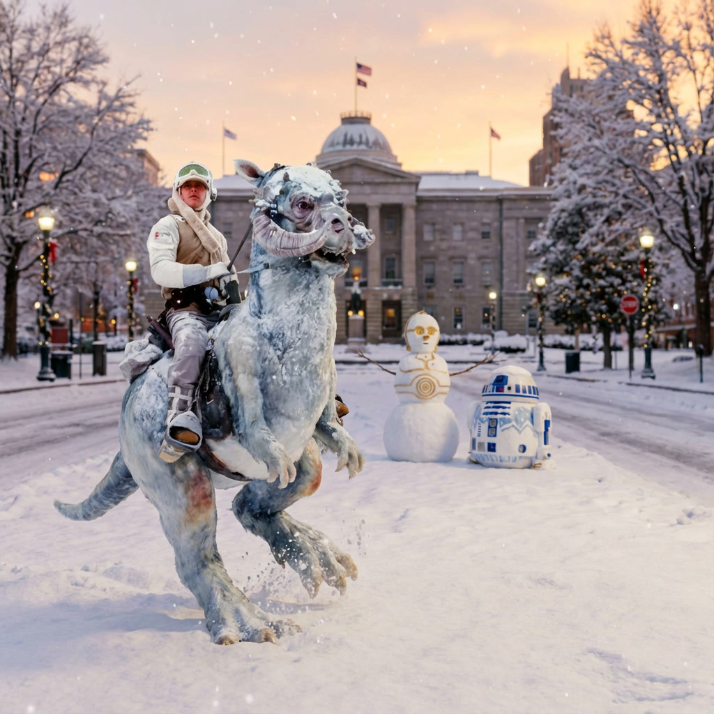
We could be looking at enough snow and ice that cars and trucks simply fail you. Which is why this weekend in Raleigh… the droids are officially joined by a Tauntaun as the preferred mode of transportation!! May the force be with you!
Yesterday’s flakes definitely weren’t what we want. But boy do I have something that will satisfy even the most ravenous snow geese on tap for the weekend!
The impending arctic outbreak over North America has been well-advertised in the long-range numerical guidance for a couple of weeks. Now the likelihood of a major southern snowstorm is all but locked in. The pattern itself is a beautiful setup, and at this juncture basically all the models agree there is a big storm on the way for a large swath of the southern and eastern US. In fact, NC hasn’t seen as great of a setup as this in many, many years. There’s a lot to be excited about.
The timing of the storm is still up for debate, but for now our impacts look to begin overnight Friday, through Saturday and possibly into Sunday AM. The setup is a classic southern-tracking storm that begins in Texas and slides east through the Deep South as it makes its way to NC and possibly the Mid-Atlantic. An arctic airmass arrives behind a cold front that moves through Friday. The moisture arrives shortly after from the west, producing widespread snow, sleet, and freezing rain for much of northern GA, and all of SC, NC, and VA. This will be a strong storm with a lot of available moisture. And since the cold air will be copious, a majority of the precipitation will be something frozen for a large chunk of US real estate.
There is widespread support among the operational deterministic runs, the ensembles, and the AI models. In fact, for a storm several days out, this type of consensus is quite rare. For instance, all but one of the 50 members of the ECWMF ensemble suite has measurable snow at RDU. About 15 of the members print greater than a foot, leaving the ensemble mean around 7″. That’s impressive, and that’s just one modeling suite. All the other majors are in line with this thinking. Of course they have their own variability in timing and p-type distributions, but the generalities are the same.
The other encouraging factor is the good run-to-run consistency. This is not one of those storms the models show in the morning runs only to disappear in the evening runs. We are getting tremendous consistency.
At this point, I personally am making contingency plans for the weekend with the expectation of major disruptions to normal schedules. And yes, there’s still plenty of time to watch, so at this point they are just contingencies. But over the next couple days, you’ll see winter storm watches and advisories go up first in Texas and then spread east to us here in NC.
One other point to make… assuming we do a get several inches of snow, this would be a setup where with even more cold air filtering in behind the storm and a fresh snow pack, we will see morning lows drop to single digits, possibly even close to 0.
What could go wrong? One big thing to be fearful of with these situations is the cold air pushing too far south such that the storm track is suppressed. In those cases, it’s just damn cold and your friends even farther south get the good stuff, leaving us dry and cold with a flurry or two. I’m sure the storm track will vacillate north and south in the models over the next couple days until we focus in the exact track which will inform the distribution of snow to sleet to freezing rain.
This far out, it’s important to not hone in on specifics. Just know that this time around… these are the droids you’re looking for, and they’ll be covered in snow and ice!
Spoiler alert… tomorrow’s setup is one that lacks the cold air necessary for a decent snowfall. The moisture should arrive well before the cold air. So this will be a situation where we’re hoping there’s still enough precipitation remaining by the time the lower-level temperature profile supports snow. Even then, it’s likely that surface temperatures will remain a couple of degrees above freezing until after the precipitation has ended.
What has trended in our favor is an increasing confidence in greater precipitation totals. This is important because higher precipitation rates will help to dynamically cool the elevated above-freezing pockets. So there’s at least a path to some heavy bursts of snow where the column cools to isothermal right around freezing. That’s the good news, if you want snow.
The bad news is surface temps will remain above freezing thru the event. Accumulations will be limited to grassy surfaces and elevated, exposed surfaces. Roads should not be impacted given today’s temps in the 50s.
Models are still all over the place, with some showing several inches and others keeping it mostly rain. Reality is probably closer to rain for much of the event, mixing with and then changing to snow. For Raleigh, that likely means a healthy dusting to maybe 3/4″. Bust potential down is all rain with some flakes mixed in and no accumulation. Bust potential up is we get lucky with a few heavy snow bursts that overwhelm the above-freezing boundary layer, and we could see up to 2″ on grassy surfaces. Not a likely outcome, but not totally off the table yet.
Timeline-wise: light rain breaks out overnight with an initial band, then a lull, then the main precip shield arrives around daybreak. Expect rain through the morning with temps in the low 40s, dropping into the mid 30s by lunchtime. That lunch-to-afternoon window is the best shot for snow in the Raleigh area. Again, the harder it precipitates, the better the odds it flips to accumulating snow. We’ll probably only have a 2–3 hour window to make the most of it.
So… maybe this is the snow that some of you are looking for… pretty coming down, a light blanket of white on the grass and car tops, and no impact on the roads.
Cold air rushes in behind the precip, with temps dropping into the mid 20s overnight. Black ice could be a concern for Monday AM travel.
And while tomorrow is interesting… I’m more intrigued by the possibility of a real winter storm for us in the 25-26th timeframe.
First… it looks like the convection along the Gulf Coast didn’t do too much damage to moisture transport with the developing coastal low. And, the upper level energy sweeping across the state looks to be over performing a bit on general light snow for the state. Many locations across Wake Co. are approaching 2″ as of 4pm with several hours of snow still to go. We’re probably looking at a range of 2-4″ across the county with maybe some lucky 5″ totals in the eastern parts of the county. The heaviest snow axis for the state will run in a line from Wake Co. north and east to the Nashville to Elizabeth City. Again, totals in the northern coastal plain will approach a foot.
Final thought… the GFS (American medium range model) had a handle on this system from the get-go. Props to the GFS. It has been steady on the non-phased, weaker solution from over a week ago. The Euro has consistently superior skill scores the aggregate, but this time the GFS wins. #Merica
P.S. I forgot to mention an addition, quick round of snow showers will swing thru tomorrow (Thursday) morning. It shouldn’t be anything to be concerned over. Just more pretty snow with perhaps a dusting of accumulation. Past that, we’re done with all the winter weather mischief until the first week of March, when things get interesting again.


Recent Comments