There has been no appreciable change in the thinking for this weekend’s blockbuster winter storm. Confidence continues to grow that this could end up being an historic event for a large swath of the South and Mid-Atlantic, including NC.
Model guidance over the last 24 hours has remained remarkably consistent, advertising a big storm tracking across a huge chunk of real estate, with snow measured in feet on the ‘cold side’ and a crippling ice storm on the ‘warm side’. The cold air is not in question. The remaining uncertainty is in the details of the surface low track and the extent of the mid-level warm nose intrusion. Those two factors will determine what flavor of winter precip ends up in your backyard.
The most important message right now is that this system is loaded with moisture. Liquid equivalent totals across NC are expected to range from 1.0″ to 2.5″. For most of the state, the majority of that precip is expected to fall as something frozen (snow, sleet, graupel) or freeze on contact (freezing rain). So however you slice it, it’s going to be a frozen mess… and a big frozen mess at that.
Again, the surface low track along with the depth and reach of that warm tongue aloft will be the deciding factors. That’s what will separate 2 feet of snow vs 6″ of snow, plus an inch of sleet vs 2″ of ice accrual. At this lead time, it’s honestly foolish to try to nail down p-type totals for any one location. The smart move is to prepare for a prolonged period of impacts, including extended power outages. Stock up on groceries and supplies now so a few days at home is more cozy than chaotic.
Yesterday I mentioned the concern that the anomalously strong high could suppress the storm track too far south and rob us of the crushing winter blow so many are hoping for. Today’s runs have not trended that way, but we’re still 3+ days from game time. The setup is almost too good to be true, but if it verifies, this is the kind of storm people will talk about for a long, long time.
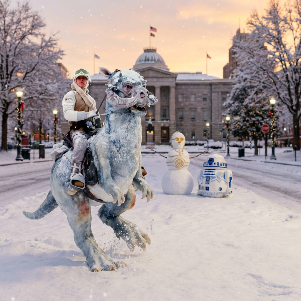
We could be looking at enough snow and ice that cars and trucks simply fail you. Which is why this weekend in Raleigh… the droids are officially joined by a Tauntaun as the preferred mode of transportation!! May the force be with you!
12:56 AM, January 21, 2026Busbee /
Thanks for the great analysis, as always!
11:23 AM, January 21, 2026Jonathan Walston /
Is this becoming a what might have been storm or is this just intermediate modeling that might shift back?