
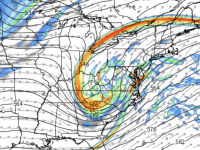
Since the last flakes fell last weekend, I’ve been incredibly good to resist the temptation to hype the potential for a third in-a-row weekend winter storm. There has existed decent potential for a major East Coast storm all week, however, the locales of emphasis have been centered from the Mid-Atlantic to New England. This is all still the case. However, over the past day or so, the numerical guidance suggests the storm could get it’s act together farther south, and with a track sufficiently close to the coast to provide snow to eastern NC before dumping impressive snows farther north.
The set up for storms like this always rely on the phasing of waves in the northern and southern jet streams. It’s tricky… is the southern behind the northern, both lining up in phase, or does the southern branch run ahead? Three days out, we’re left to try to analyze how well the models initialized from the observations (i.e. garbage in = garbage out), and make a reasonable case as to why one model solution is preferred over another.
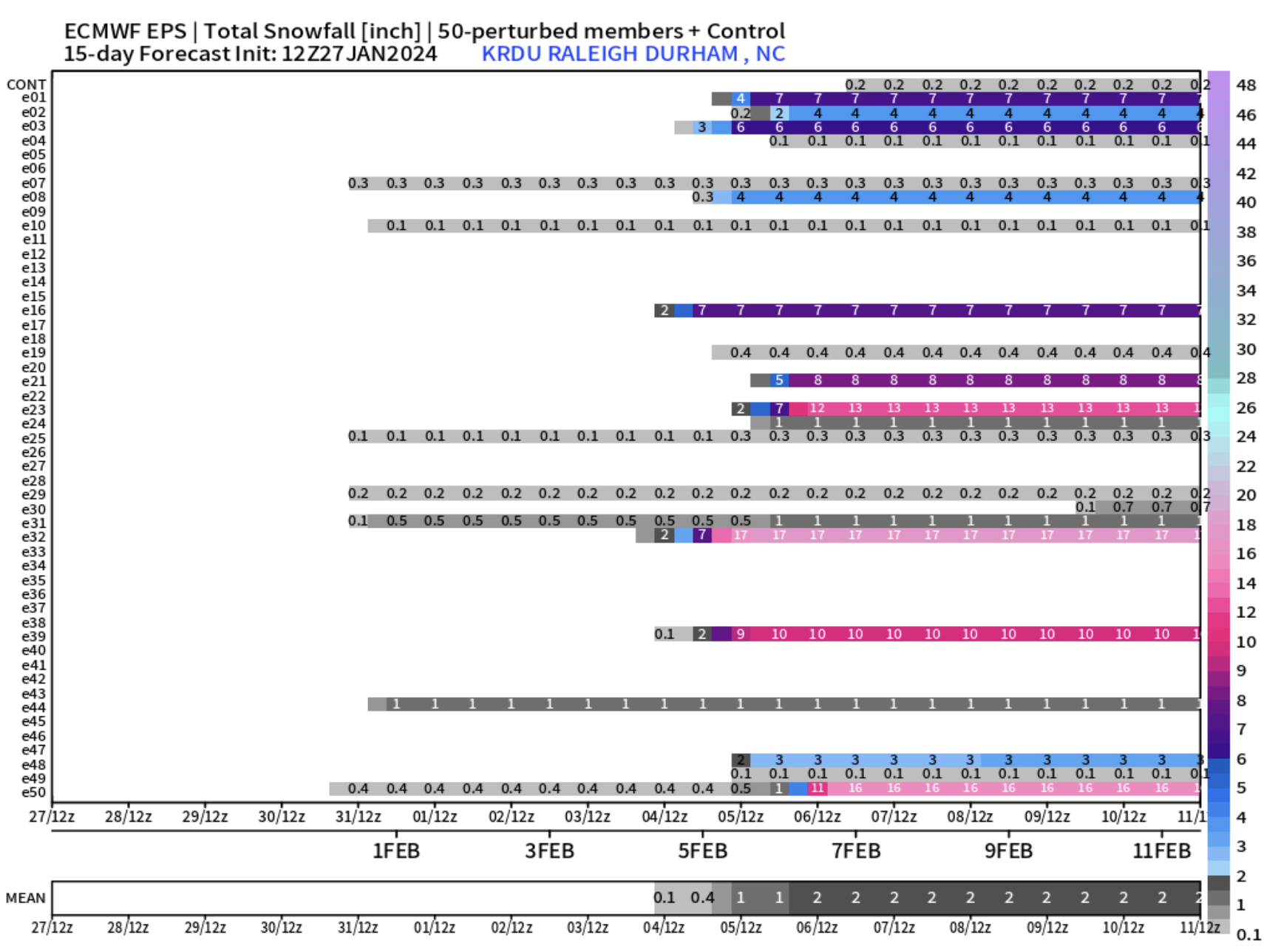
Bottom line for tonight is that the trends in the last several cycles favor solutions that give, especially eastern NC, good chances for accumulating snow. This far out, there’s no reason to be exciting for more than an inch or two with areas toward Elizabeth City and Norfolk that have the greatest potential for significantly more accumulation.
So, that’s where we should be leveling our heads tonight. However, with the amount of potential energy on the table with this storm, you cannot discount the outlier solution (for now) that would give eastern NC an even more impressive snowfall than we saw last weekend. At the same time, hold in balance that the eastern outlier solution could play out with just a cold rain most all.
Let’s see how things evolve and the next couple days and hope for that NC Hat Trick!


Recent Comments